
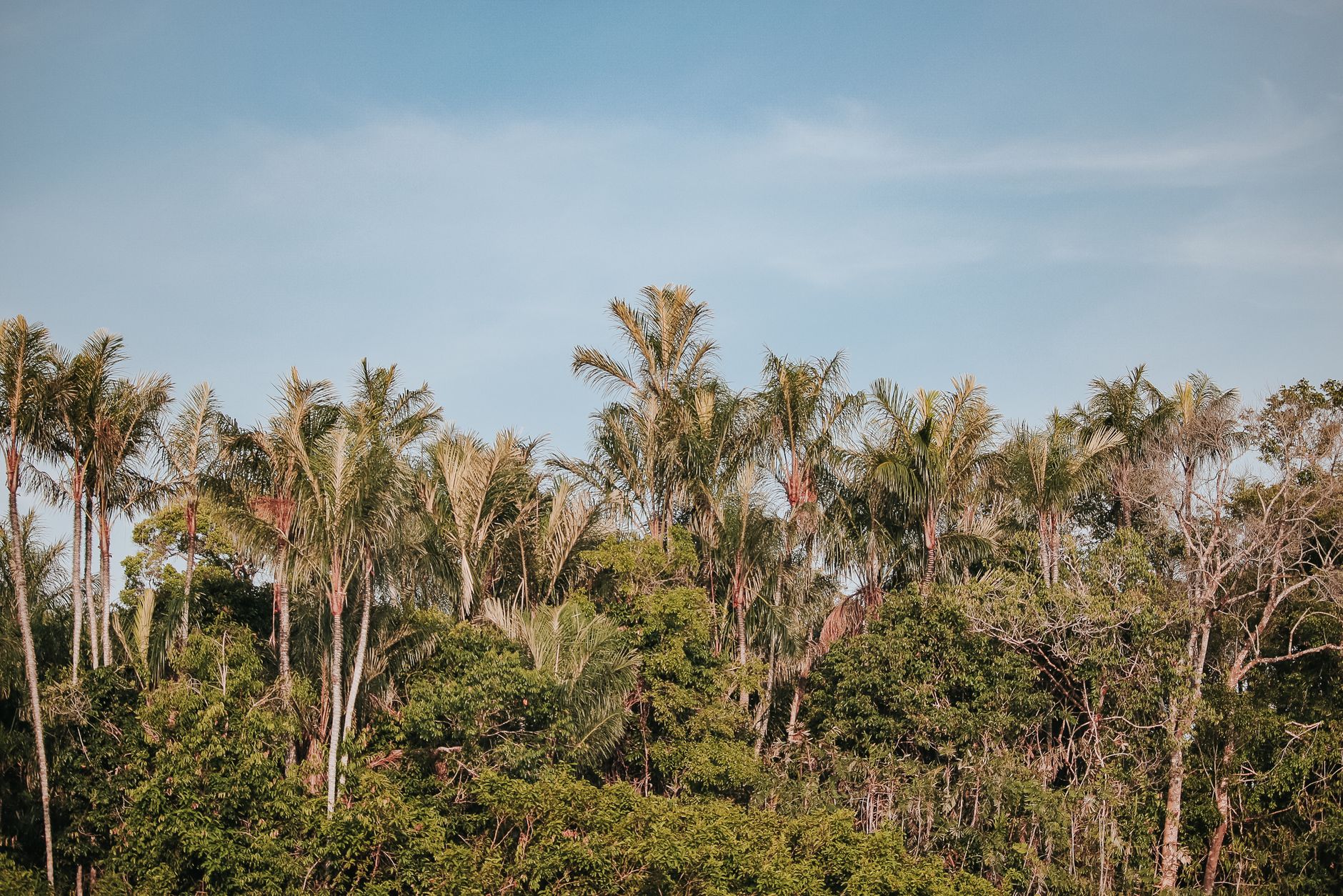
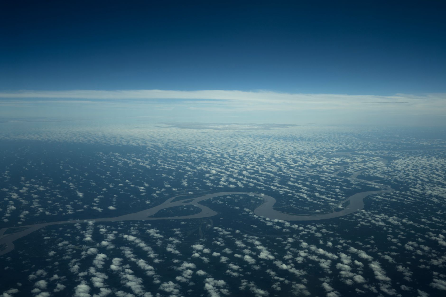
Featured image: Forest near Barcelos, Brazil. Illustrative photograph, not evidence of the measured annual deforestation change. Photo: Ivo Brasil / Pexels. Source.
Brazil’s Amazon deforestation estimate has fallen to its lowest level in the official PRODES record. On 16 October 2026, Brazil’s Ministry of the Environment and Climate Change reported a PRODES Amazônia estimate of 3,335 square kilometres of deforestation between August 2025 and July 2026. That is a 41.8% decrease from the preceding monitoring year, and the lowest result in a series that began in 1988.
The estimate covers a monitoring year in Brazil’s Legal Amazon, not forest loss across the whole multinational Amazon.
What the new PRODES estimate measures
PRODES is the annual system used by Brazil’s National Institute for Space Research, known as INPE, to monitor deforestation. The official FAQ describes the broader measure as suppression of native vegetation, but the newly released number is specifically the PRODES Amazônia estimate. It covers 1 August 2025 to 31 July 2026 and is expressed in square kilometres. Brazil’s official release says it is based on priority imagery, with the consolidated Amazon rate due in the first half of the following year after all imagery has been assessed.
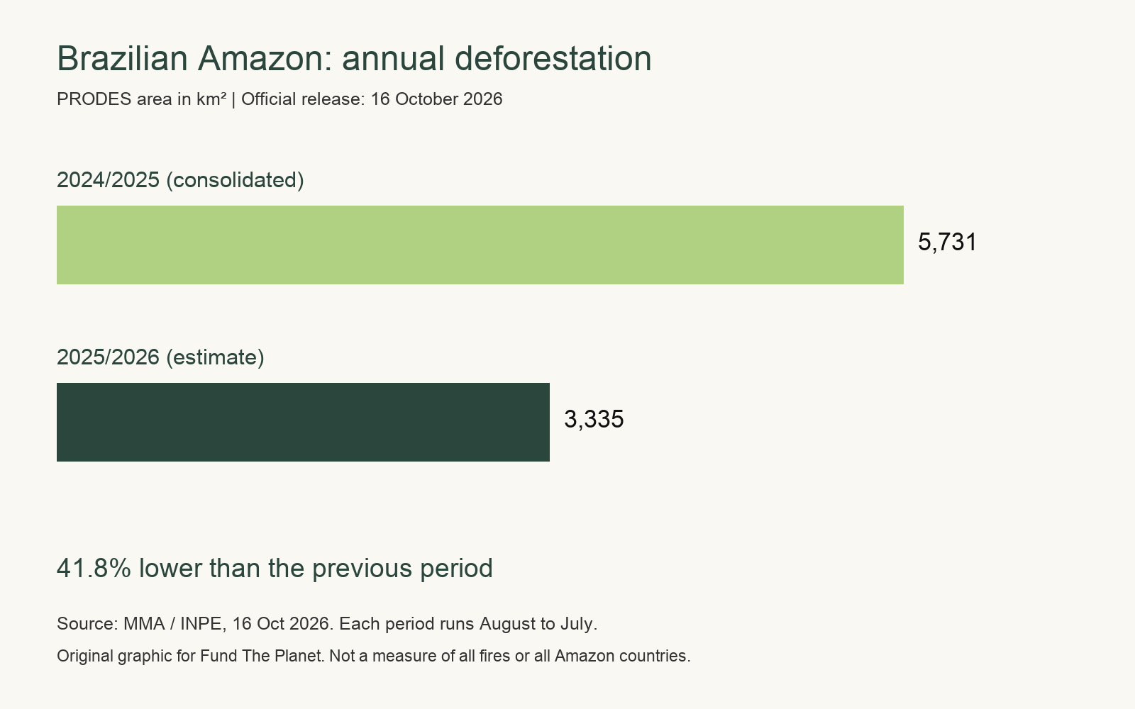
The October announcement is an estimate based on priority imagery, rather than the consolidated rate based on all images. The ministry reported 5,731 square kilometres for the previous August 2024 to July 2025 period, making the new figure 41.8% lower.
PRODES also has a defined territorial scope. The official release reports the Amazon result across the nine states of Brazil’s Legal Amazon, rather than the Amazon biome across all countries. It should not be broadened into a measure of every kind of native vegetation change across that entire administrative territory, or compared loosely with figures that use another boundary or method.
The data are part of a public record rather than a one-off announcement. INPE makes historical series, maps and downloads available through TerraBrasilis, allowing researchers and the public to inspect the monitoring context. Long records make it possible to see a lower annual result as a measurable change, while still keeping sight of what the indicator does and does not cover.
Why the decline is significant without being a finish line
A lower rate of clearing matters because standing forest keeps more than tree cover in place. It holds connected habitat and supports food webs. The Amazon’s living complexity is one reason an annual deforestation figure is more than a land-use statistic.
The 2025 to 2026 result also beats the previous low in the Amazon PRODES series, which the ministry identifies as 4,571 square kilometres in 2012. That historical comparison gives the current estimate weight. It does not mean that deforestation has stopped: 3,335 square kilometres of detected loss remains a serious area of native vegetation removed in a single monitoring year.
The national release names Pará, Mato Grosso and Amazonas as the states with the largest areas detected in the new Amazon estimate. Their figures were lower than in the prior period, but the variation was not identical everywhere. Roraima, for example, recorded a small increase in the table, a reminder that a regional total can conceal different local patterns.
It is also helpful not to collapse deforestation, degradation and fire into the same word. The ministry explains that PRODES measures the suppression of native vegetation, while degradation is a loss of forest quality, structure or function that does not necessarily remove all vegetation. Fire can damage native vegetation without every affected area being classified as deforestation. PRODES can, however, count advanced degradation when canopy loss and forest structural collapse meet its criteria.
The work behind a lower annual figure
Brazil attributes the decline to a mix of satellite monitoring, environmental enforcement, territorial planning and incentives for sustainable activities. Those are broad categories, but they describe a practical chain: monitoring identifies change, enforcement can respond, and land-use and economic measures shape conditions beyond a single inspection. The ministry says this work is organised through its Amazon and Cerrado deforestation prevention plans, with federal, state and municipal cooperation.
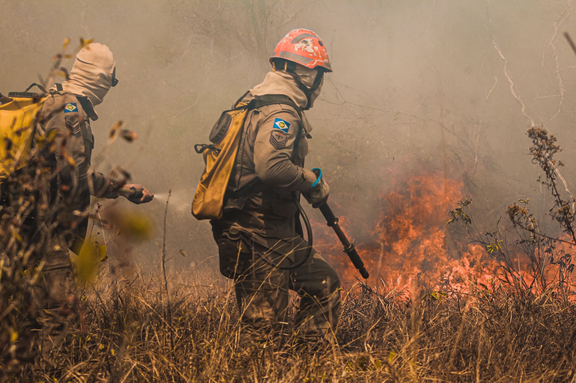
The announcement also reports enforcement activity by Ibama and ICMBio from 2023 to 2026, including inspections, infringement notices and embargoes. Those figures should not be read as a simple one-to-one explanation for the annual PRODES result. They do show that deforestation policy is not only about observing forest loss from space, but also about the institutions able to act when problems are identified.
Protection has a territorial dimension as well. The ministry reports new and expanded federal conservation units, Indigenous land homologations and work to allocate public lands across Brazil since January 2023. Different legal arrangements are not interchangeable, but each can influence whether forest remains standing.
Nothing in this result makes protection automatic. Effective monitoring depends on sustained public capacity, and protected areas still need management, enforcement and respect for the people who live in and care for forest territories. A lower figure is evidence of progress in a monitored period, not a reason to relax attention to the next one.
Keeping the result in its proper Amazon context
The PRODES announcement arrived with a separate Cerrado figure, but the two should not simply be added together. The Amazon Legal region includes areas of the Cerrado biome, while PRODES Cerrado maps native vegetation across the whole biome. The ministry explicitly warns that the territorial and methodological cuts must be made compatible before the figures can be combined.
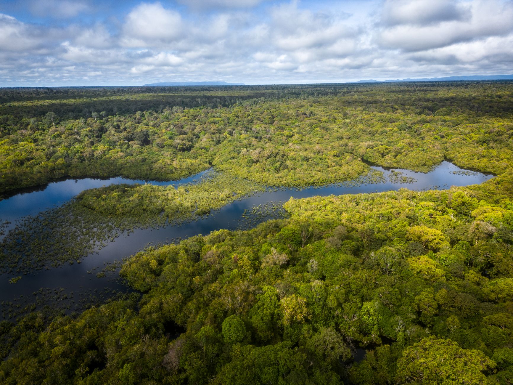
For readers trying to understand what is at stake, biodiversity offers a useful scale. The Amazon rainforest food chain is not a simple ladder of species, but a network that depends on habitat remaining connected and functional. Clearing can fragment that network even when an annual regional total is falling.
The ministry says the consolidated Amazon rate, based on all imagery, will follow in the first half of 2027. That will provide a fuller assessment of the August 2025 to July 2026 monitoring year.
The estimate is lower than any previous annual result in the PRODES series, but it still records 3,335 square kilometres of clearing. Keeping the decline going means preventing further loss of the forest that remains. Start protecting rainforest with Fund the Planet.

 EN
 DE