
A forest fire near a capital city under construction is not only a local emergency. It is a warning about where Indonesia’s annual fire problem is now reaching. On September 14, officials inspected fire-hit areas around Bukit Soeharto in East Kalimantan, part of the wider landscape near Nusantara, Indonesia’s planned new capital on Borneo.
The latest reporting places the fires roughly 30 to 40 kilometres from government buildings. That distinction matters. The government complex itself was not reported to have burned. But flames and haze have reached the capital’s outer zone, where forest, peatland, roads and fast-changing land use meet.
What happened near Nusantara
Mongabay’s September 15 report describes a September 14 inspection of Bukit Soeharto and a fire crisis spreading through several parts of Indonesia. Earlier reports had already put fires in the wider Nusantara area. The new development is that the response is now tied directly to a protected forest area and the capital region’s edge.
Bukit Soeharto is not a spare patch of land beside a building site. It is a forest park in East Kalimantan that has already faced pressure from roads, extraction and encroachment. Fire adds another layer of risk. Once a dry fire reaches degraded forest or peat, it can be difficult to contain and can leave a long ecological recovery ahead.
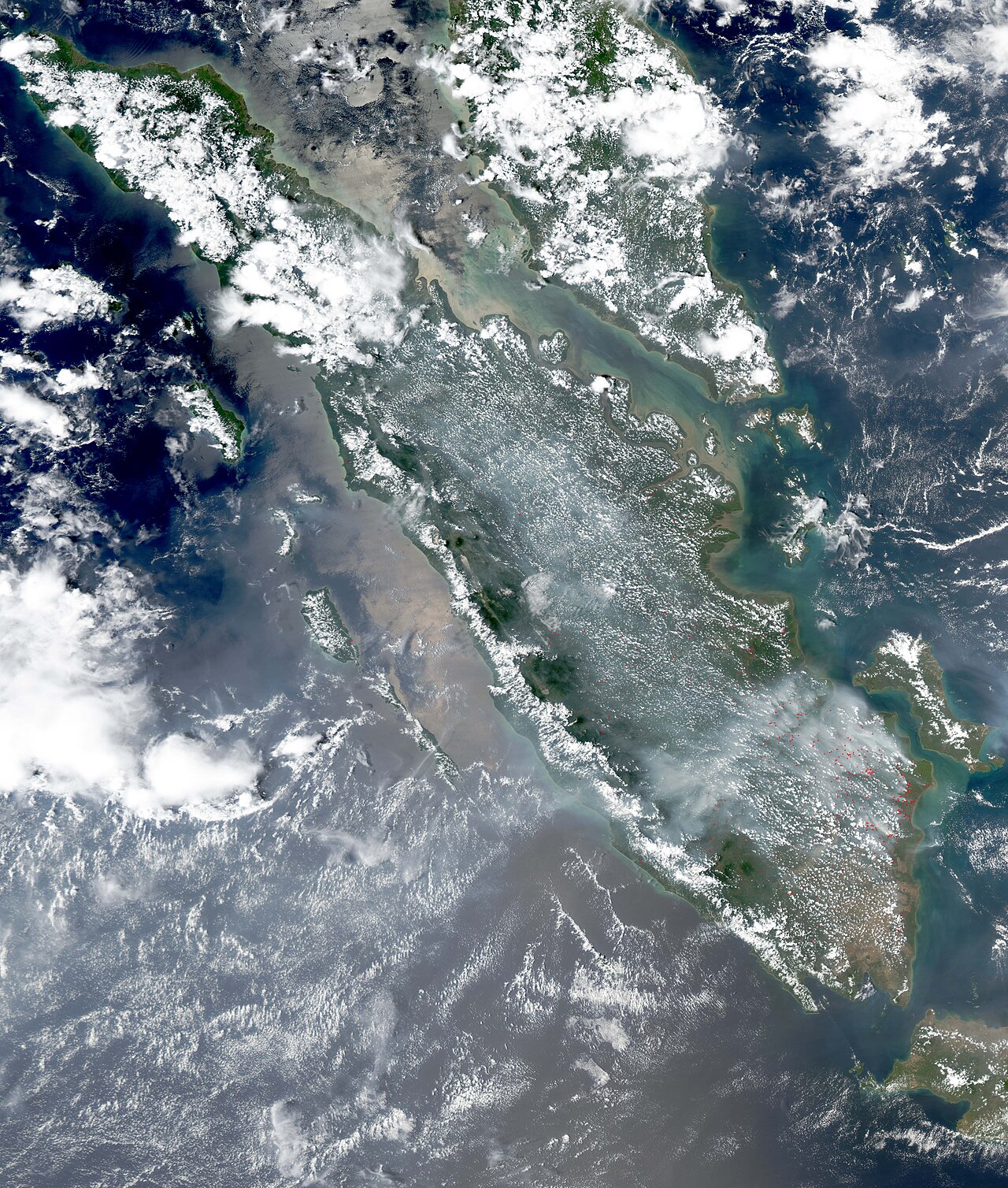
The location also makes the story harder to ignore. Nusantara was planned as a new administrative centre, partly to ease pressure on Jakarta. A capital project does not cause every fire nearby, but it changes the stakes for land management, emergency planning and public scrutiny.
Why these fires are more than a bad week of weather
Indonesia’s fire seasons are shaped by drought, land clearing, drainage and enforcement gaps. El Niño conditions have intensified fire risks in recent years, and recent photo reporting from Indonesia showed how quickly forest loss, smoke and dry conditions can become one connected crisis.
Peat is especially difficult. When peatlands are drained, fire can move below the surface and continue after visible flames have been reduced. That means the smoke problem can persist, and the carbon stored in old organic soils can be released over a much longer period than a surface burn suggests.
Indonesia has made major commitments to prevent catastrophic haze seasons. This episode does not prove that all of those efforts have failed. It does show that prevention has to hold in the places where development, protected land and dry conditions overlap.
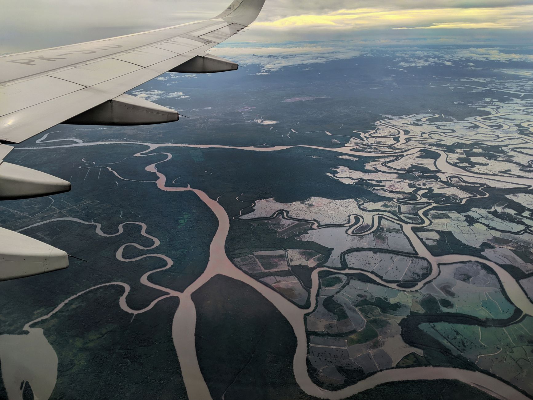
The wider lesson is familiar in our guide to Borneo deforestation: forest damage is rarely one isolated event. Roads, land conversion and fragmented habitats can make future fires more likely and harder to manage.
What the capital-region fire reveals about forest protection
The most careful reading of this news is not that Nusantara is on fire. It is that wildfires have reached its outer zone, close enough to expose a real weakness in how landscapes are protected while they are being transformed.
Forest protection works best before smoke appears. That means maintaining wet peat, preventing illegal clearing, protecting intact forest and giving local responders the resources to act early. It also means treating protected areas as living systems, not empty buffers around infrastructure.
This is why legal protection and practical protection have to work together. A boundary on a map helps, but a forest also needs monitoring, local knowledge and the capacity to respond when conditions turn dangerous. The same point appears in how rainforest protection is secured over time and in the hard lessons from deforestation across the Amazon.
The next test is prevention
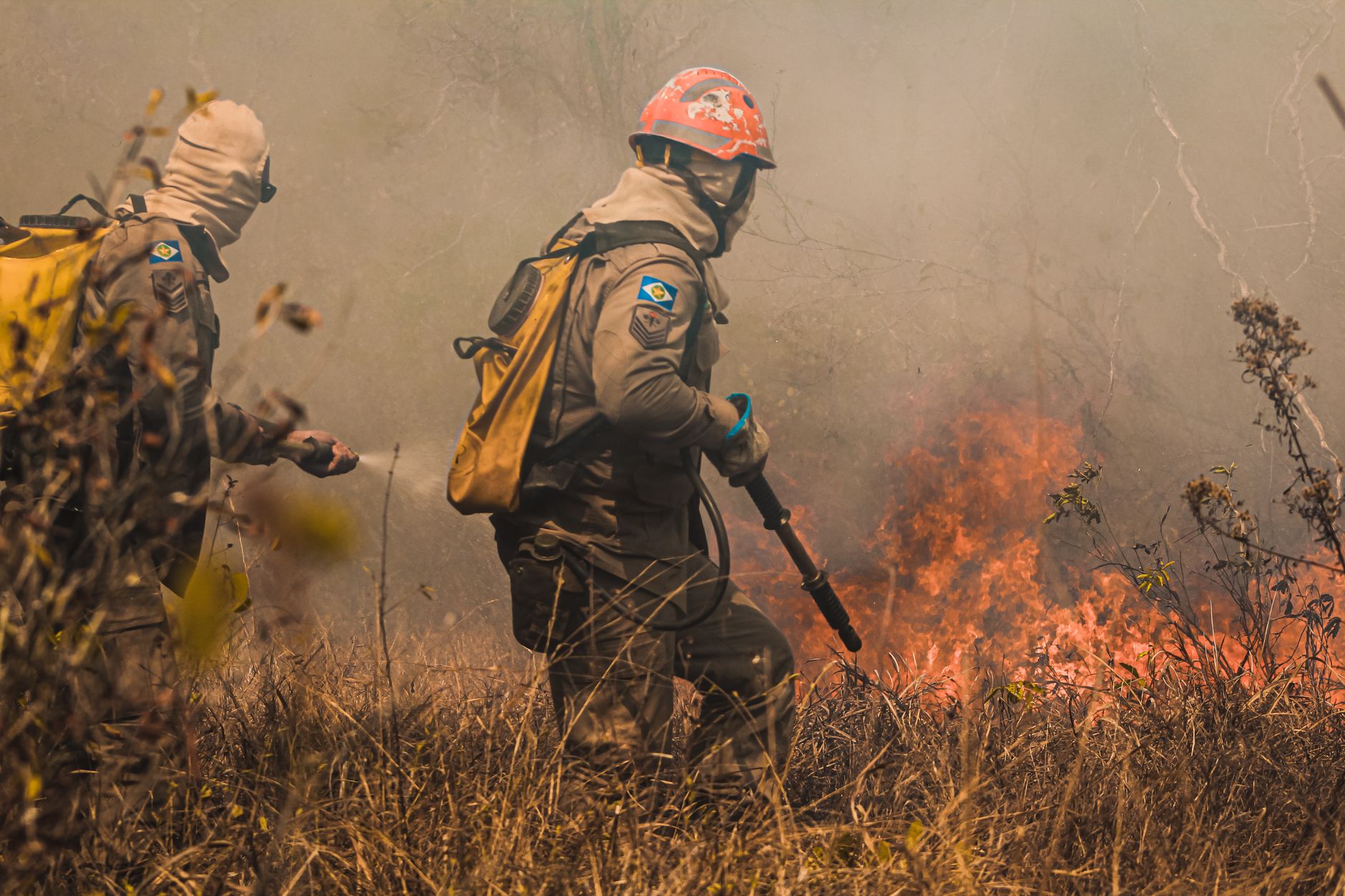
The September inspection is a response to an active problem, not proof that the danger has passed. Rain, firefighting and cloud seeding can help in the short term. The larger test is whether Bukit Soeharto and the land around Nusantara are managed in ways that keep the next dry season from becoming another emergency.
The distance from the government complex should not become a reason to minimise the fire. Thirty to forty kilometres is close enough to make the point clearly: when forests and peatlands are left vulnerable, smoke and ecological damage do not respect the lines drawn around a new city.


 EN
 DE